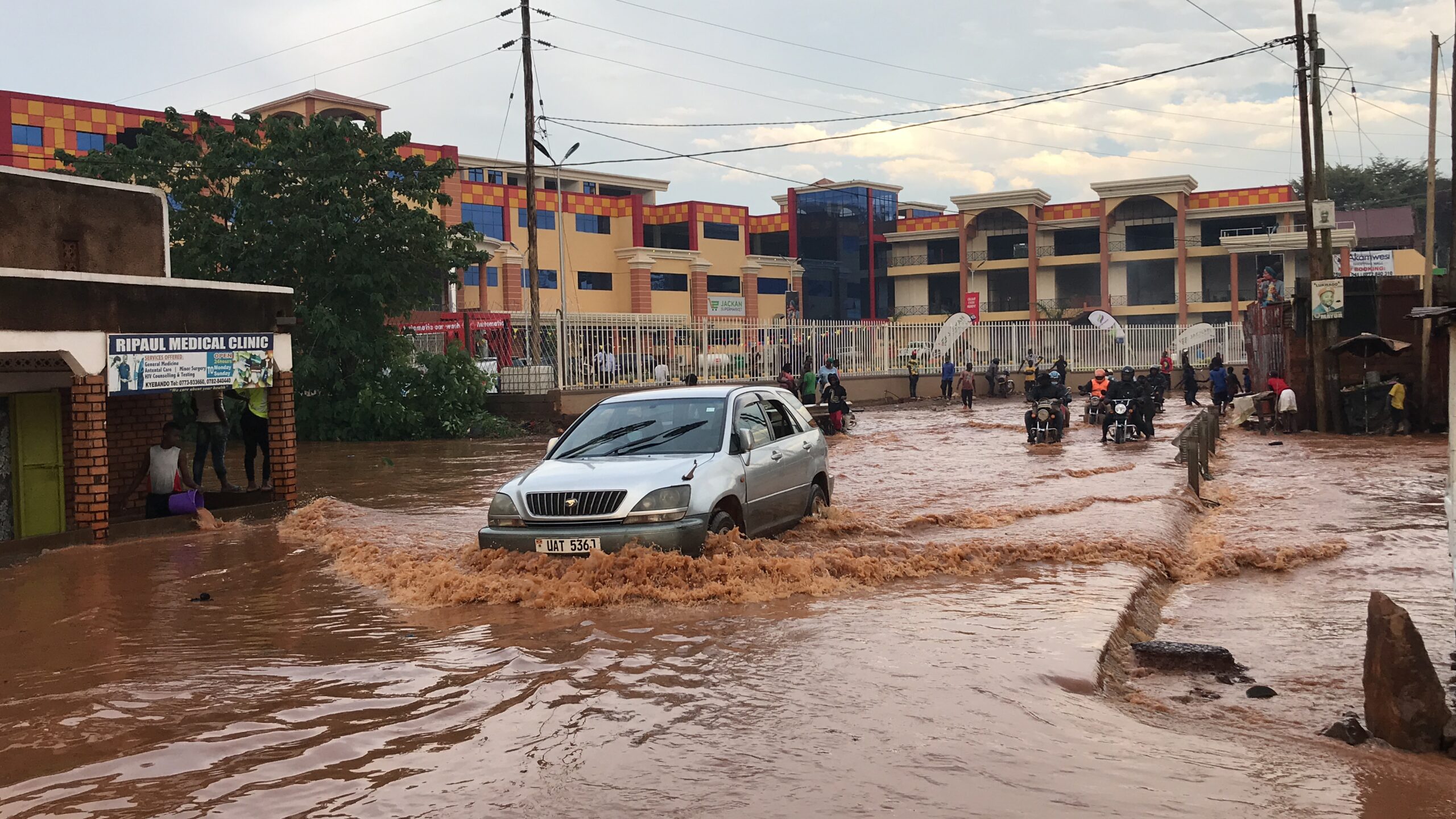
Flooding is the greatest climate risk facing Uganda.
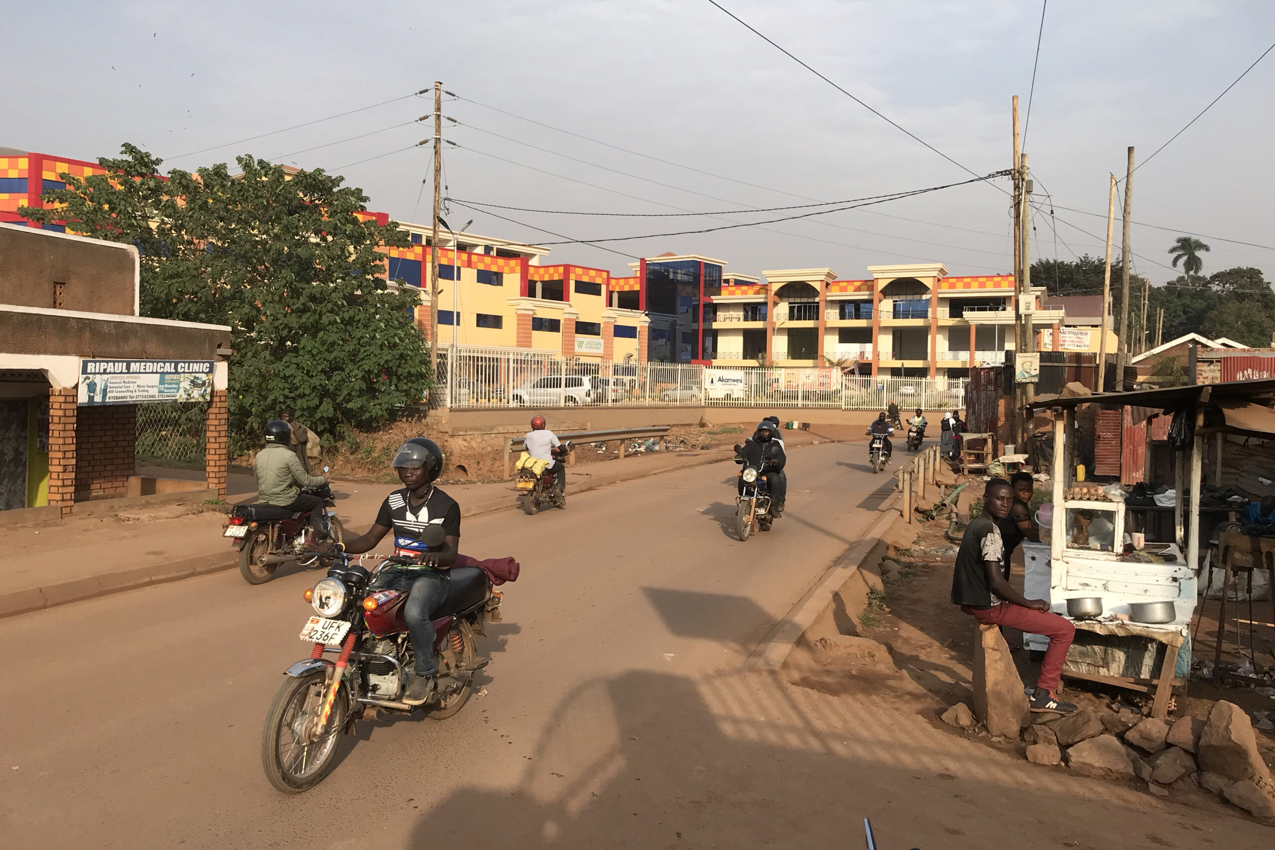
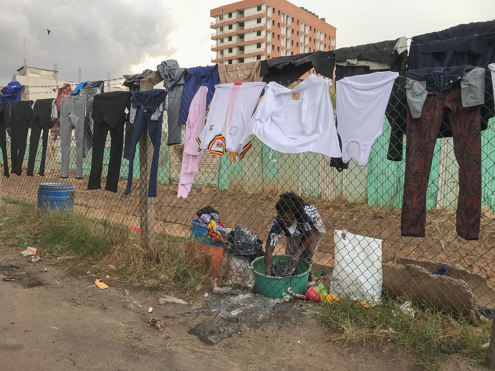
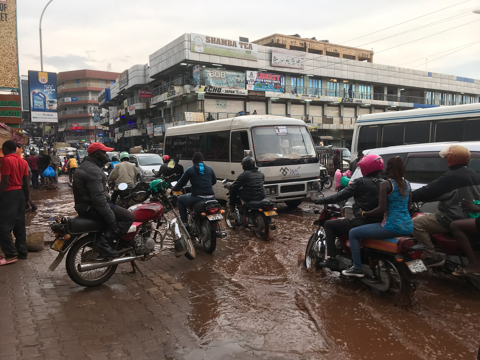
At least 50,000 people are directly impacted by flooding every year – the aftermath of which includes displacement, destruction of property, endangered economic activity, poor physical and mental health, and loss of life. Erratic rainfall and its consequences have significant implications for the people and built environments of the country’s low-lying capital, Kampala, much of which was built on former wetlands at the base of the city’s seven hills.
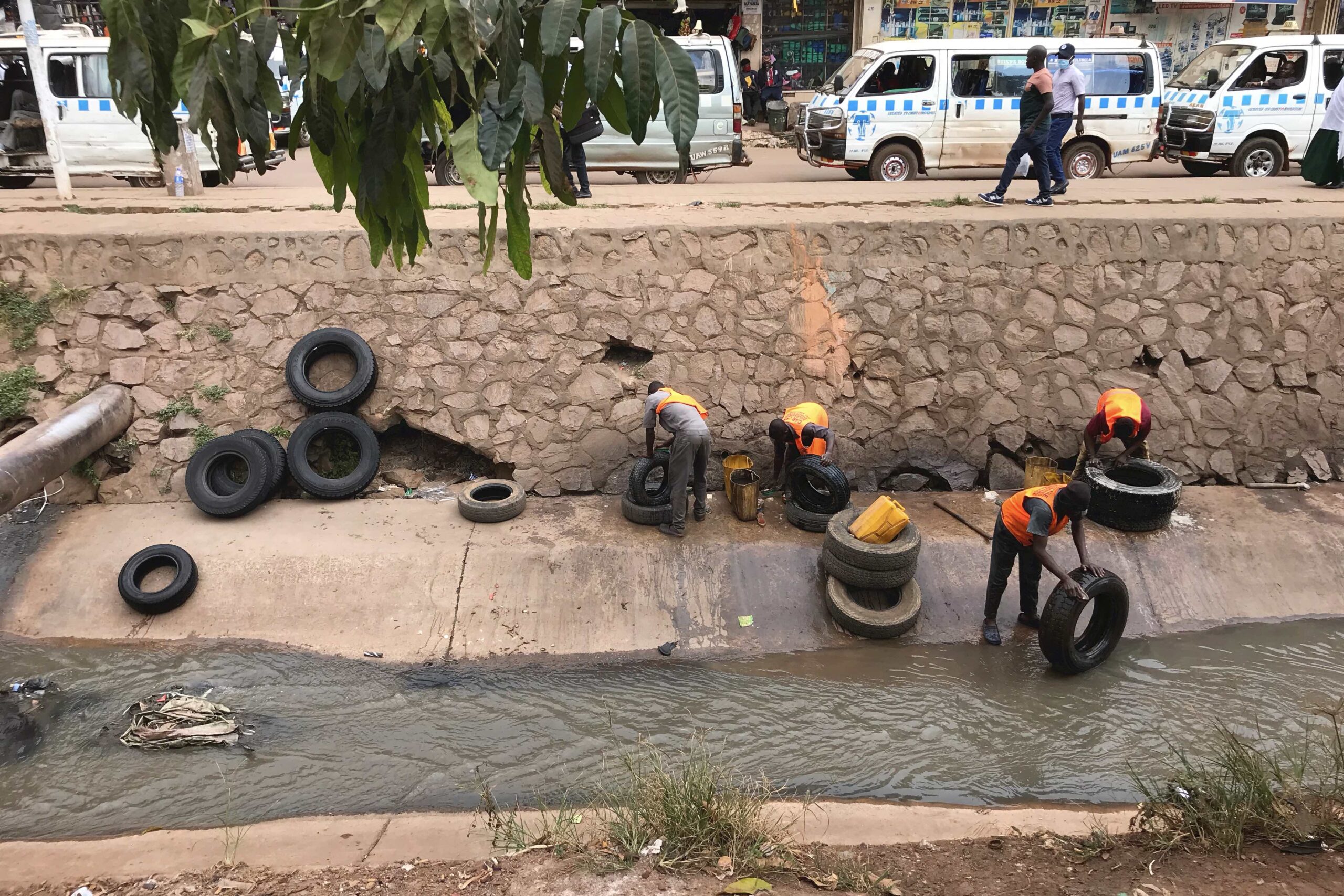
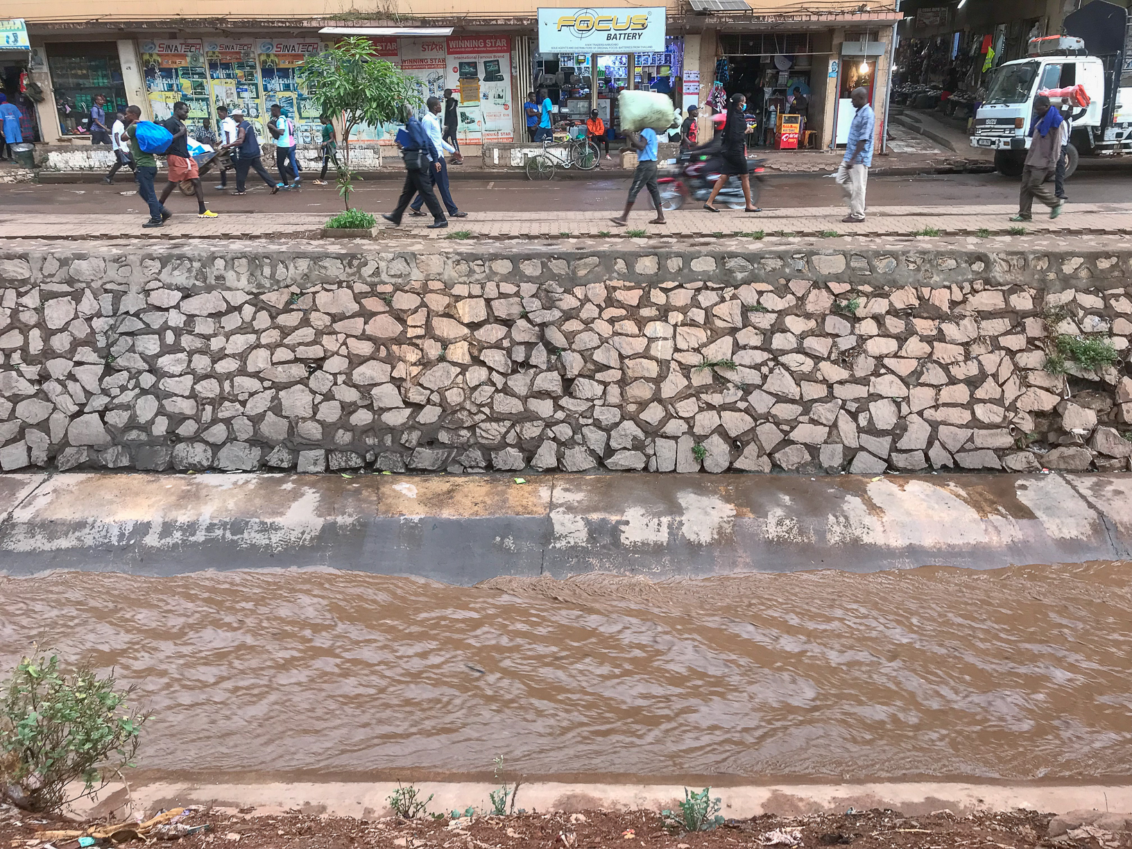
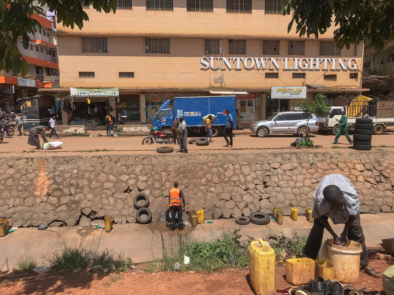
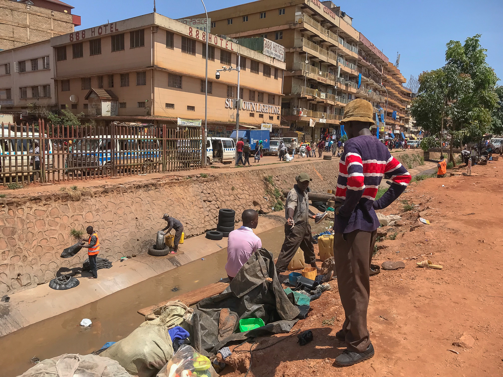
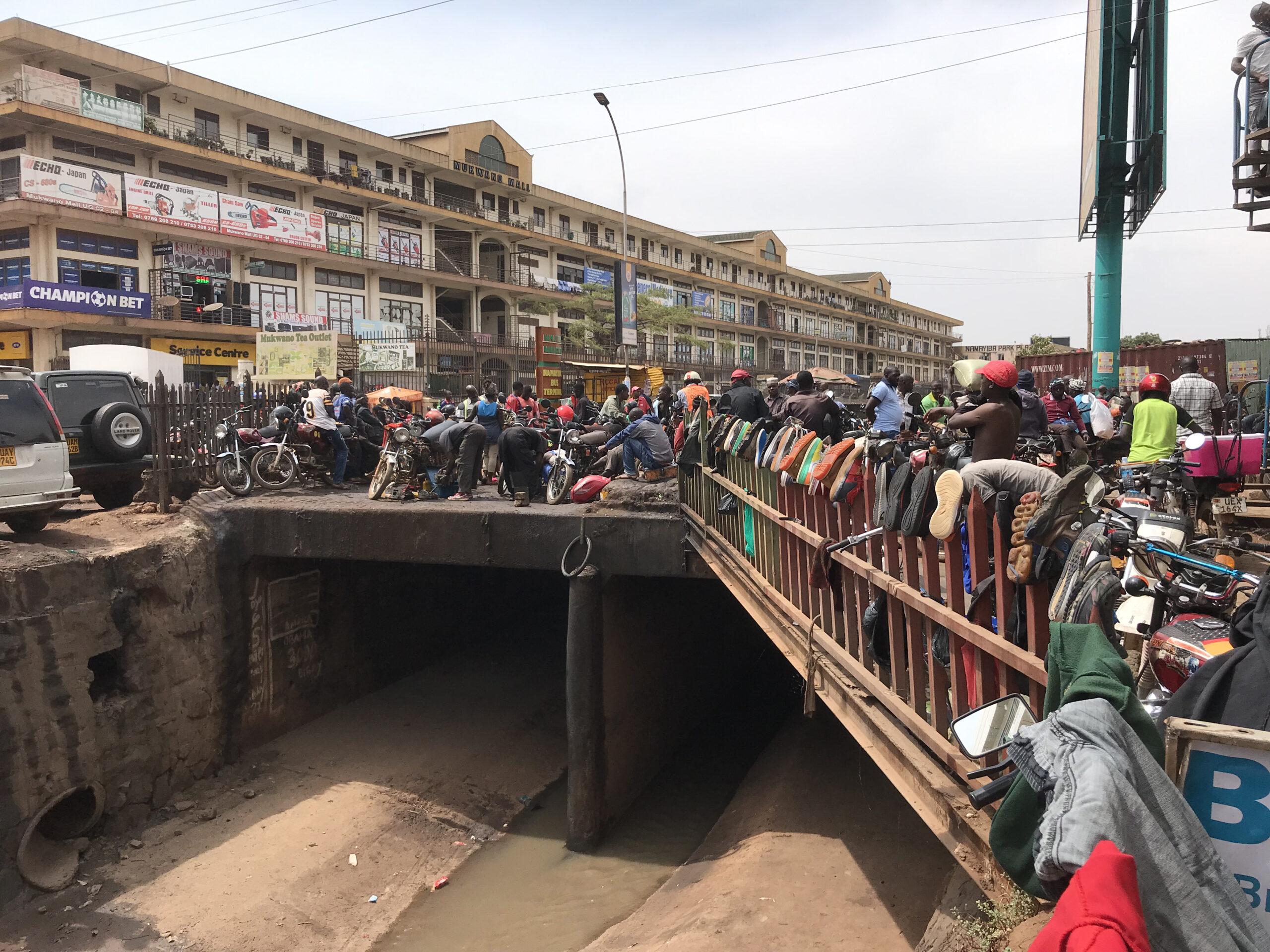
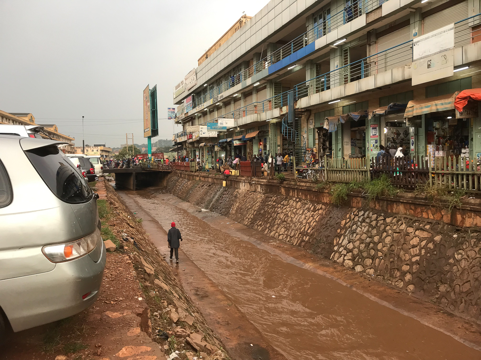
The photo project features Nakivubo Channel, a tributary channel and adjacent streets, the only drainage channel to run through the city’s central business areas, which is badly in need of improvement and expansion. During prolonged heavy rainfall, the Channel floods, hitting Kampala’s already marginalised urban residents hardest. During dry periods however the channel takes on different meanings and purposes, existing as a piece of transitory urban infrastructure which people can use to engage in informal economic jobs and traverse the city.
Kampala looks and feels very different in the aftermath of heavy rains. The project displays the Channel at different points of the year, including flooding after heavy rainfall in September 2021, the hot and dry month of January 2022, and the beginning of the rainy season in February 2022, in advance of expected heavier rainfall in March. The project explores environmental injustices, the negotiation of rapidly shifting urban space, and the different ways in which people use, and adapt, their everyday lives in response to the ongoing global climate emergency and its consequences.
Photographer: Jim Joel Nyakaana